Marshall Island (Ed Woodsum Preserve)
Unorganized Territories
Jump to
Guidelines
What You Need to Know
- Camp at established campsites (with restrictions)
- Campfires permitted (guidelines below)
- Stay on established trails
- Carry out all trash (see details)
- Keep pets under control
- Respect privacy of preserve neighbors
- Hunting stands and cameras: permission and labeling required
Why we Care
985 Acres of Adventure
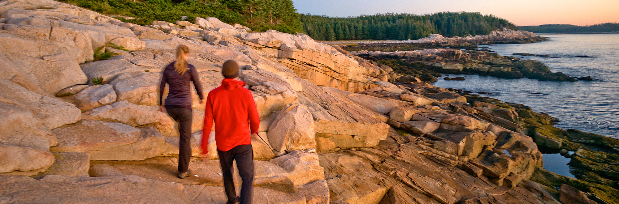
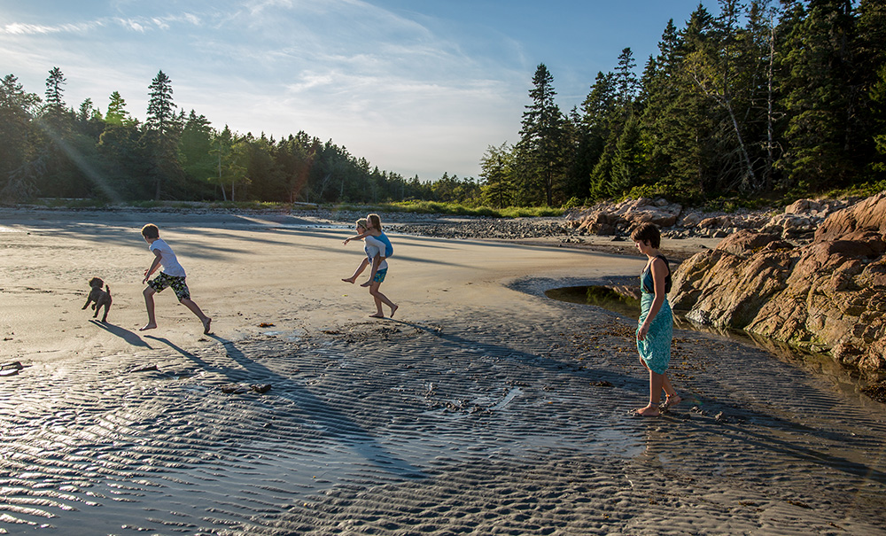
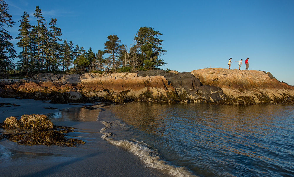
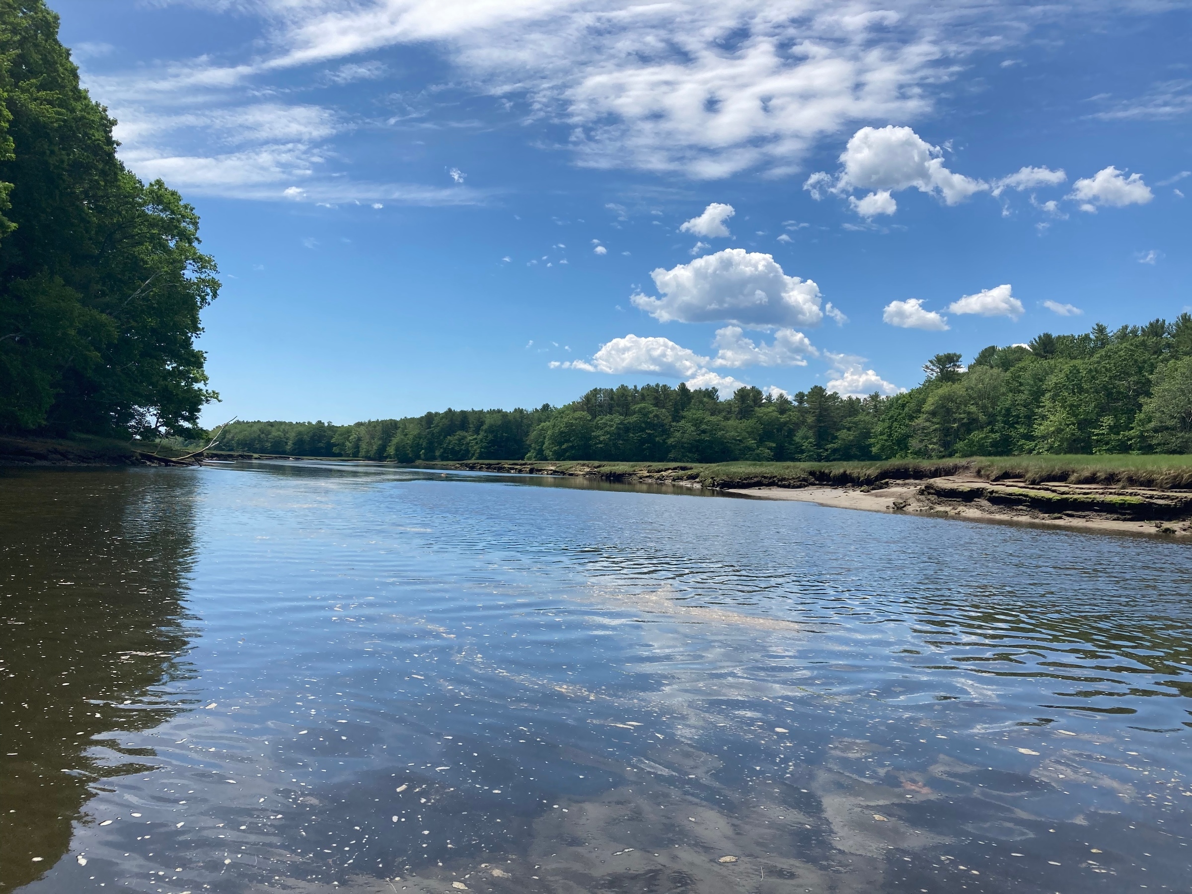
Get out on the open water and head to the distant shoreline of Marshall Island. You’ll find a perfect spot for relaxing and camping at the aptly-named Sand Cove, as bald eagles survey above and waves crash gently below. Be sure to pack plenty of food and water before heading out on the island’s over 6-mile network of paths—some of the most remote and scenic coastal trails in the state.
Features
How to Get There
Marshall Island is located south of Swans Island in Hancock County. The cove near Ringtown Island offers good holding ground and an easy landing beach on the south end, where you can spot the trails. You can also anchor off Sand Cove or just west of Long Point. If you have little experience kayaking or boating, consider hiring a local guide for transportation.
Not Open For Use: The old airstrip is revegetating with trees and shrubs and landings should not be attempted.
Explore the Map
View this preserve’s trails and features on the interactive map or download a printable copy above.
Preserve Details
Property:
Town:
County:
Accessible:
Field Notes
Getting to Know Ed Woodsum Preserve
The Path to Conservation
The Ed Woodsum Preserve was acquired by MCHT in 2003, thanks to the generosity of private donors and the state’s Land for Maine’s Future Program.
On the Preserve
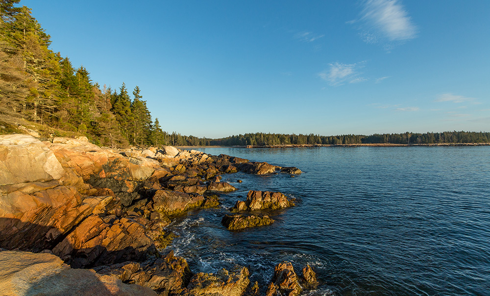
Marshall is forested predominantly with spruce species and an occasional hardwood. A network of interconnected wetlands runs throughout the island, and nearly the entire shoreline consists of bold granite ledge and cobble beaches. This diverse habitat attracts numerous bird species each year, including many resident songbirds and large flocks of migratory songbirds. An active bald eagle nest has also been spotted near Boxam Cove.
Tips From the MCHT Land Steward
There are few places along Maine’s coast as isolated, wild, and beautiful as Marshall Island. However, caution should be taken while hiking the island’s rugged shoreline, as no services are available and cell phone coverage is spotty. The storm surges of January 2024 caused erosion in several south and east facing shorelines. The trails traverse ledges and cobbles near the water in several places, so extra care should be taken while hiking.
Choose Your Loop
The preserve offers two interconnected loop trails to explore, with other options available to shorten your day’s trek if you’re looking for a quicker trip. More information on the East and South loop trails below.
Stories from Mount Desert Island
World Fish Migration Day
Maine Coast Heritage Trust (MCHT) will join partners and communities across the state on May 23, 2026 for a series of locally led events to celebrate migratory fish, river restoration, and the partnerships driving this conservation work forward. World Fish Migration Day activities will take place from York County to eastern Washington County on the Mousam, Bagaduce, Sheepscot, Orange, and Narraguagus Rivers, all part of MCHT’s multi‑year Rivers Initiative.
Be part of the movement

Contribute to a future with
healthy, open lands & waters
Donate Now

Give your time to help
care for the coast
Volunteer Now

Be a champion
for conservation
Spread the Word
More Information on Ed Woodsum Preserve
Camping on the Island
Planning Your Stay
- Camping is only permitted at the three established sites (below).
- Stays are limited to two nights.
- All sites are first come, first served.
- Commercial users by permission only. Please call 207-729-7366.
The Campsites
- Northeast: Follow the short trail from the kiosk on the northeast tip of the island. Here you’ll find two multi-level tent platforms.
- Long Point: Land your kayak or outboard on the fine cobble beach on the north end of the island and set up camp in the spruce forest.
- Sand Cove: You’ll find three, 12’ x 12’ tent platforms in the woods just north of Marshall’s popular Sand Cove Beach. Camping is not permitted on the beach.
*Please note that there is a long-term lease site on the island on lower head, southeast of Boxam Cove that is not open to the public.
Campfires on the Island
While campfires are permitted, it’s important to check for any local restrictions.
Guidelines:
- Must be smaller than 3 feet
- Do not build fire rings
- Keep all fires below high tide line
- Do not cut or break tree limbs, dead or alive
- Leave no fire unattended
- Completely extinguish all fires
Help Us Take Care of the Preserve
This preserve belongs to all of us; that’s why it’s important to leave as little trace as possible when you visit.
To do that, please:
- Carry out all trash
- Carry out all pet waste
- Carry out all human waste (including toilet paper)
Trails of Marshall Island
East Loop Trail
This extraordinary 3.8-mile hike is marked with yellow blazes and traverses the eastern side of the island. Highlights of this loop trail include the eastern shoreline near Ringtown Island, Popplestone Cove, and Devil’s Head.
The trail begins at Sand Cove Beach and heads inland for 1.1 miles to the old airstrip. At the intersection of overgrown runway landing areas, turn sharply left. Continue to the western end of the airstrip, turn right, and descend the quarter-mile trail to a beach near Long Point with sweeping views of Blue Hill Bay. Follow the coastline trail south along Popplestone Cove, past a side trail to Devil’s Head, and then back to Sand Cove, following the yellow blazes and cairns.
South Loop Trail
This popular 1.4-mile hike is marked with blue blazes and begins at Sand Cove. From just south of the cove, turn left onto the path as it hugs the southeast shore of the island. The trail then swings west toward Boxam Cove and its secluded beach. To complete the loop, head north for 0.1 miles.